FIELDLOGIC

Advanced Solutions for Kiwi Farmers

Field Logic is an agricultural drone services provider based in the stunning Lake Hawea region of New Zealand. We specialize in delivering cutting-edge aerial solutions to farmers and land managers across the Upper Clutha area.

From precision spraying and thermal imaging to pest control and conservation work, our experienced team combines advanced drone technology with local expertise to help you manage your land more efficiently and sustainably. We primarily service Lake Hawea, Wanaka, and the wider Upper Clutha area, with the capability to travel throughout New Zealand for larger projects.

We are fully licensed and insured to operate in New Zealand, with the following certifications:

  • Part 102 Certificate
  • Pilot Chemical Rating
  • Night and Agricultural Ratings
  • MPI Pindone User Certificate
About Us

Our Services

Agricultural

Agricultural

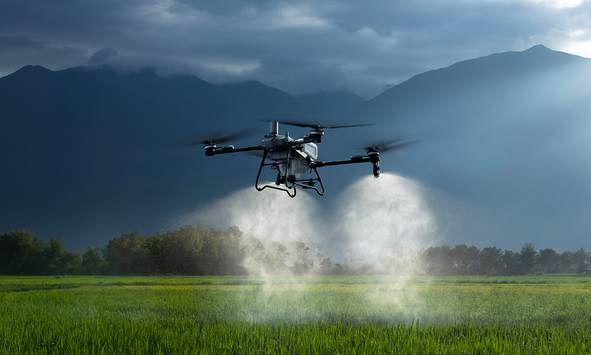
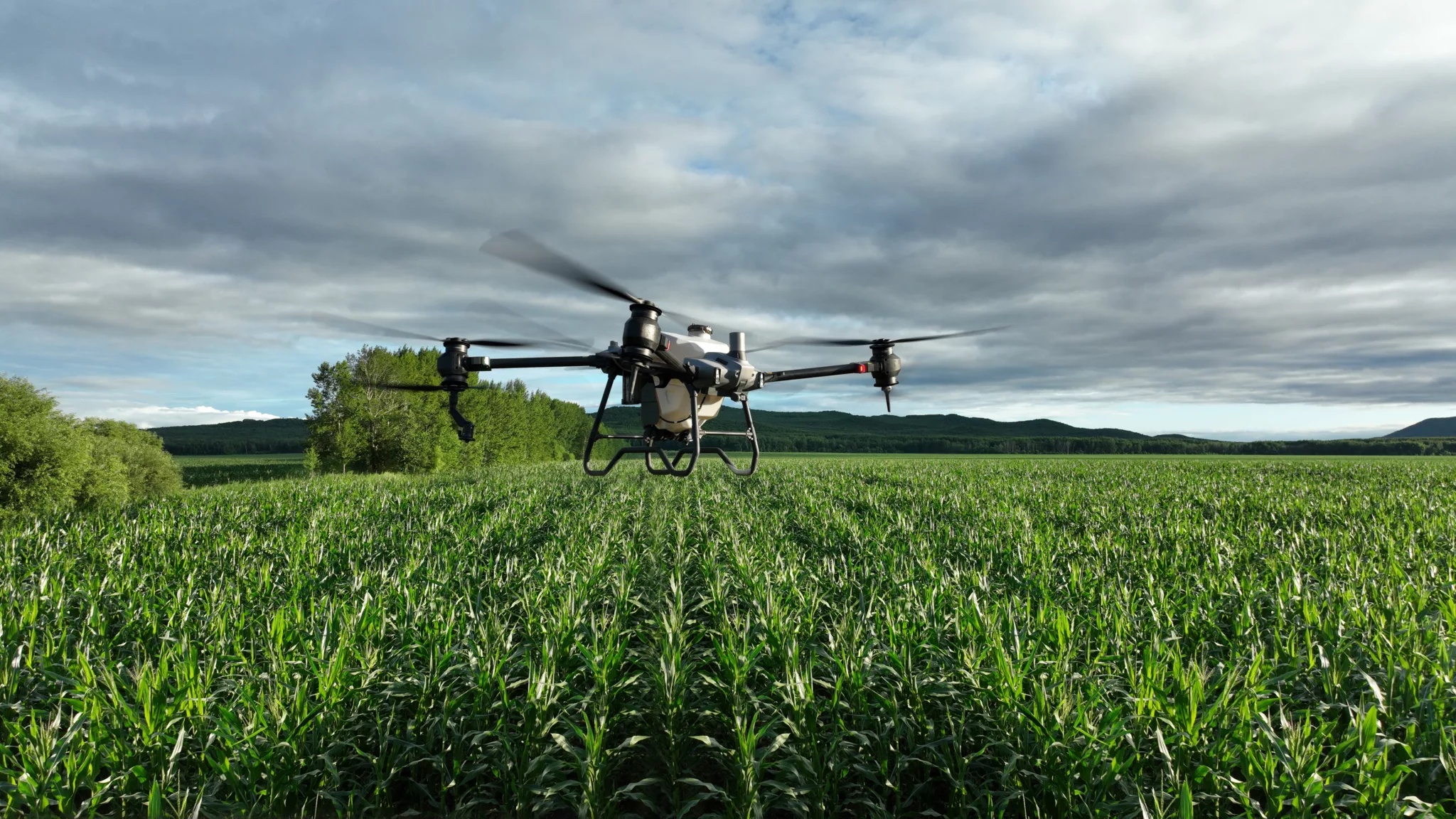
Advanced drone technology delivering precision spraying, seeding, and fertilisation across New Zealand farms. Our systems ensure accurate application of pesticides, herbicides, and nutrients while minimising environmental impact and chemical waste.

Reduces soil compaction, ensures uniform coverage, and delivers significant cost savings through reduced labour and optimised product usage. All operations comply with environmental regulations while maximising productivity.

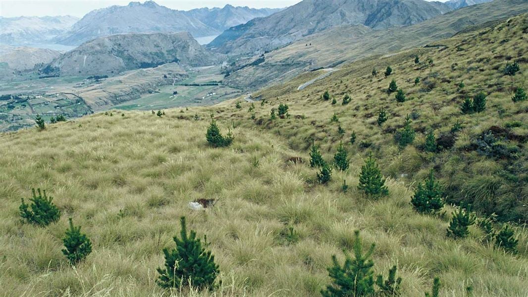
AI-powered plant recognition identifies and targets specific weeds including gorse, blackberry, broom, and old man's beard while protecting native vegetation. Dramatically reduces herbicide usage compared to blanket spraying, delivering significant cost savings and reduced environmental impact.

Pastoral

Pastoral

Track stock movements, assess pasture health, and monitor large properties efficiently from the air.

Services include mustering support, boundary fence inspections, water trough monitoring, and rapid identification of stock in distress. Eliminates the need for costly helicopter flyovers while accessing rugged terrain traditional methods cannot reach.

GPS-guided precision for seeding, fertiliser spreading, and lime application, even on steep hill country. Reduces waste, improves establishment rates, and maximises productive potential while maintaining environmental sustainability.

Pest Control

Pest Control

MPI-certified operators targeting rabbits, possums, and invasive plant species with precision that traditional methods cannot match. Access remote warrens, steep gullies, and dense scrubland where ground-based control is impractical or dangerous.

Thermal imaging capabilities enable nighttime operations for nocturnal pests, significantly improving control success rates. All operations comply with New Zealand's strict environmental and safety regulations.

Precision Mapping

Precision Mapping

Survey-grade accuracy using GPS-enabled drones with high-resolution cameras. Create detailed topographical maps and orthomosaic imagery for drainage planning, irrigation design, soil mapping, and yield analysis.

NDVI analysis and multispectral imaging detect variations in plant health invisible to the naked eye, enabling early detection of nutrient deficiencies, water stress, and disease outbreaks before they impact yields.

Supports resource consent applications, environmental impact assessments, and Farm Environment Plan requirements. High-resolution imagery and detailed reports suitable for council submissions, providing accurate, actionable data for successful farm management.

Thermal Imaging

Thermal Imaging

Advanced thermal cameras detect heat signatures invisible to the human eye. During calving and lambing seasons, quickly locate animals in distress even in dense vegetation or darkness.

CAA-certified night operations rating enables nighttime surveys for pest animals including possums, rabbits, and feral cats without disturbing livestock. Perfect for monitoring predator activity and assessing pest control success rates.

conservation

Conservation

Specialist wilding conifer control across South Island high country. Targeted herbicide application to individual trees or small clusters, a cost-effective and environmentally sensitive alternative to helicopter spraying that protects native vegetation while eliminating invasive conifers.

Access remote mountainous terrain where traditional methods are prohibitively expensive. GPS mapping and photographic documentation tracks control efforts and provides detailed reporting for funding applications.

Services include native forest health monitoring, wetland mapping, biodiversity surveys, and tracking invasive species.

Contact Us

Ready to transform your farming operations? Get in touch with Field Logic today. Our experienced team of drone operators provides reliable, professional service across New Zealand, delivering cutting-edge agricultural solutions right to your property.